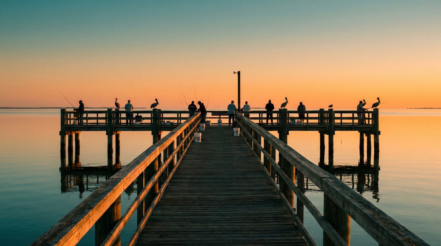
Live tide, wind, pressure and water temperature for every bay, river and lake worth the drive — with a safety call, the keep limits, and what to tie on. Built for a first-timer on the bank and honest enough for a guide.
Free. No account, no ads, nothing tracked. Android: the app on Google Play. Everything else: it runs in any phone browser — add it to your home screen and it opens like an app.
Tide, wind, pressure and water temperature straight from NOAA, NWS and USGS, on all 35 Texas waters. When a sensor is down, it says so instead of guessing.
Wind, gusts, seas and storm timing for how you fish — shore, kayak, skiff or bay boat. Never blended into the score.
Every bag and length limit cited to the rule and evaluated on the Texas calendar. Licence exemptions and the new ID rule, plainly.
Hard deadline first — storm, wind or dark — then when to leave the spot and when the alarm goes off. On the Android app, a real alarm.
Shore, kayak, small boat or bay boat — the safety limits and the access points change with it. Search 35 Texas waters or let the app sort them by distance from where you actually leave. Star the ones you fish.
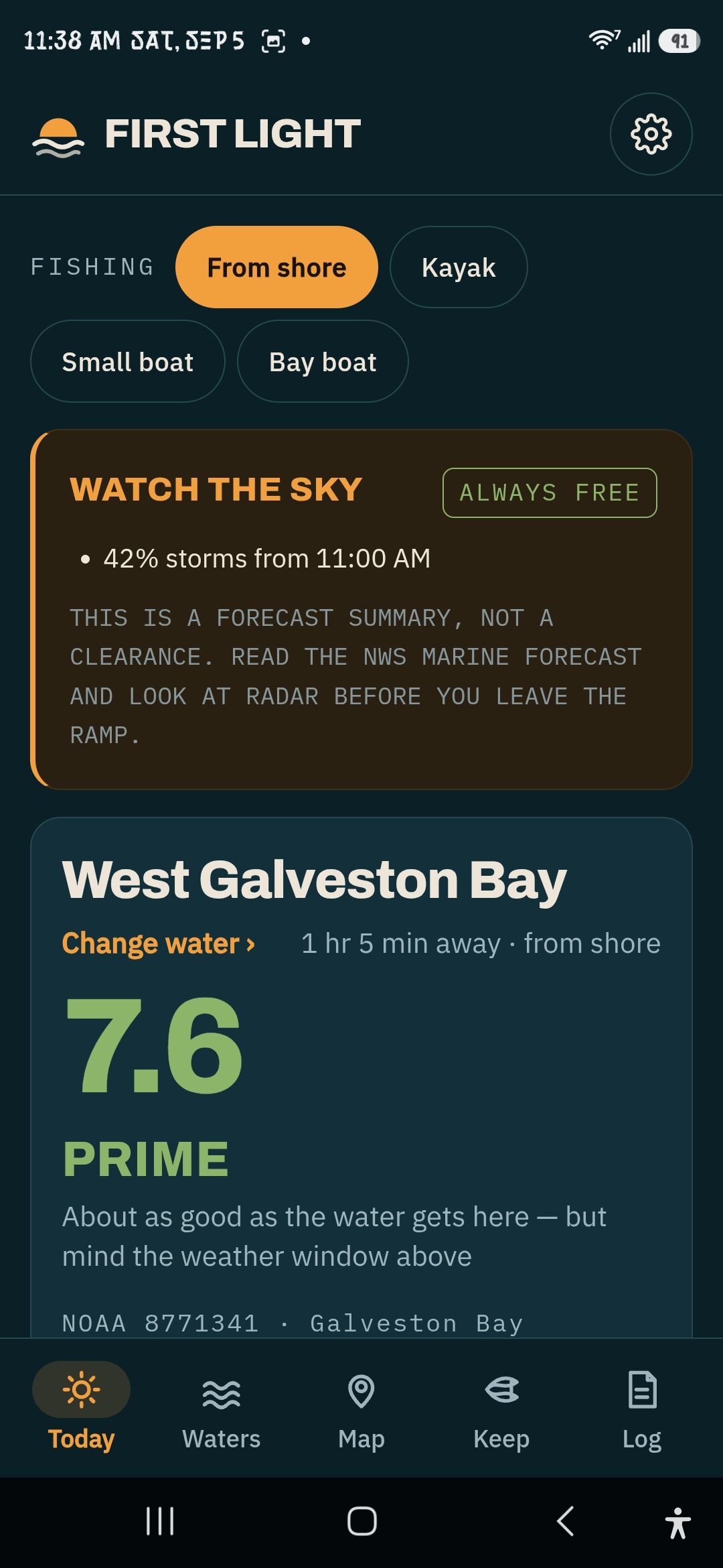
A 0–10 conditions summary from live tide, wind, pressure and water temperature, with the hours that score best and a sentence saying what is doing the work. Above it, the safety call — which can say do not go out and mean it.
The launch plan works backwards from the hard deadline — storms, wind or dark — to when you should leave the spot and when the alarm should go off. Then the keep limits, cited to the rule, and what to tie on for what is likely.
The safety call knows the difference between a kayak and a bay boat. Wind that is a nuisance in one is a swim in the other.
Kayak · gusts capped lower, seas capped lower, storm margin the sameScreenshots from the Android app on a phone — not mockups, not a designer's idea of it.

The weather warning sits above the score, never blended into it. A dangerous day cannot score well enough to tempt you.

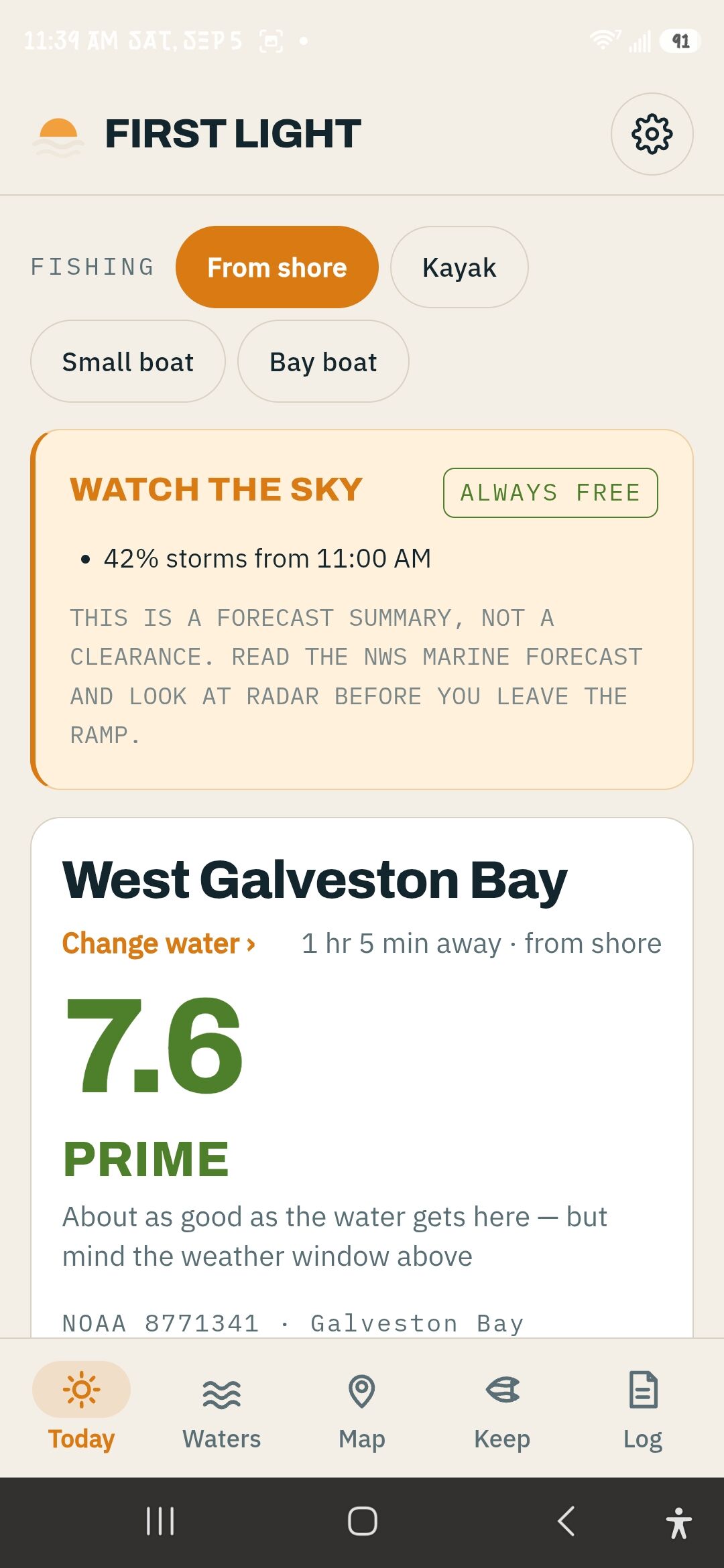
It follows your phone. Daylight on a bank at noon is not the same screen as five in the morning.

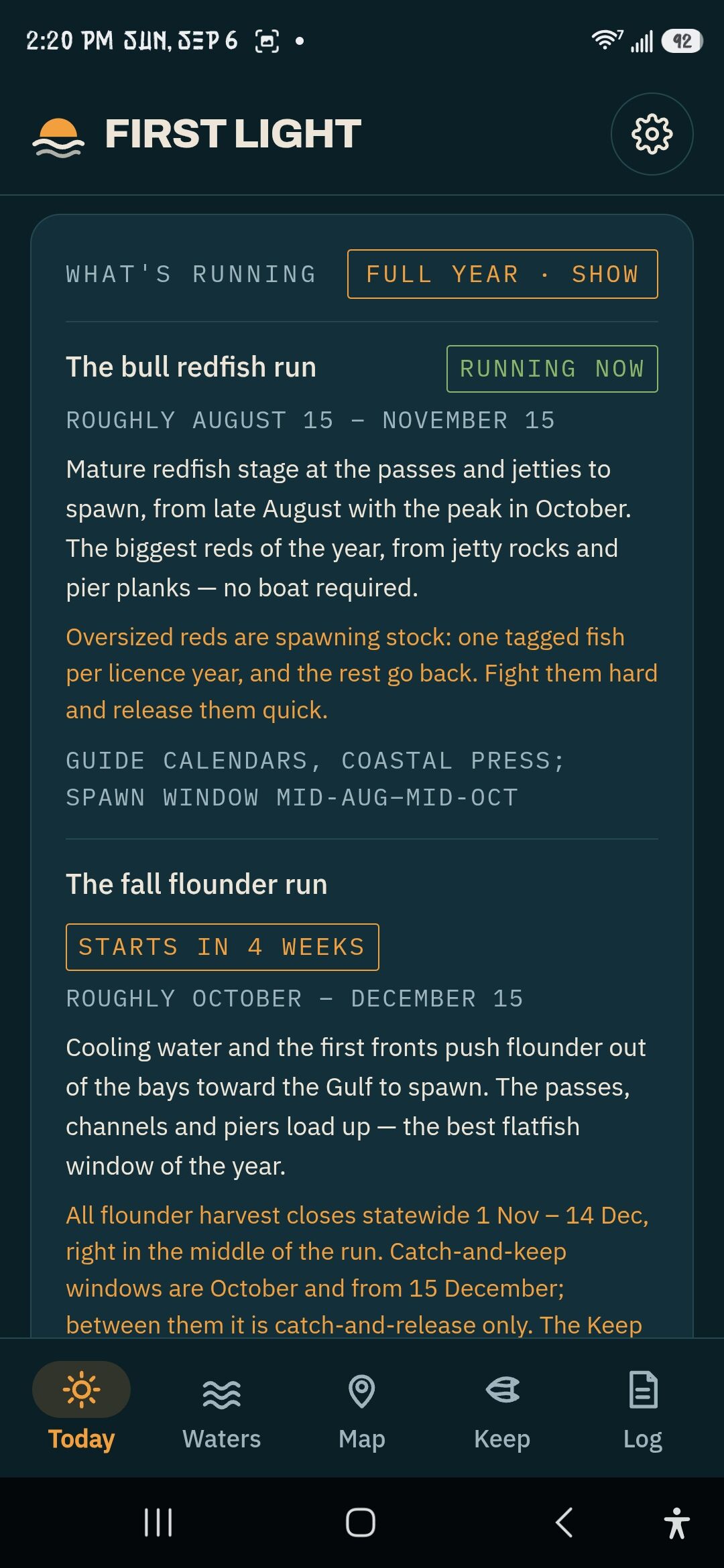
The runs, with how long is left of them — and the rule that catches people out, like flounder closing mid-run.

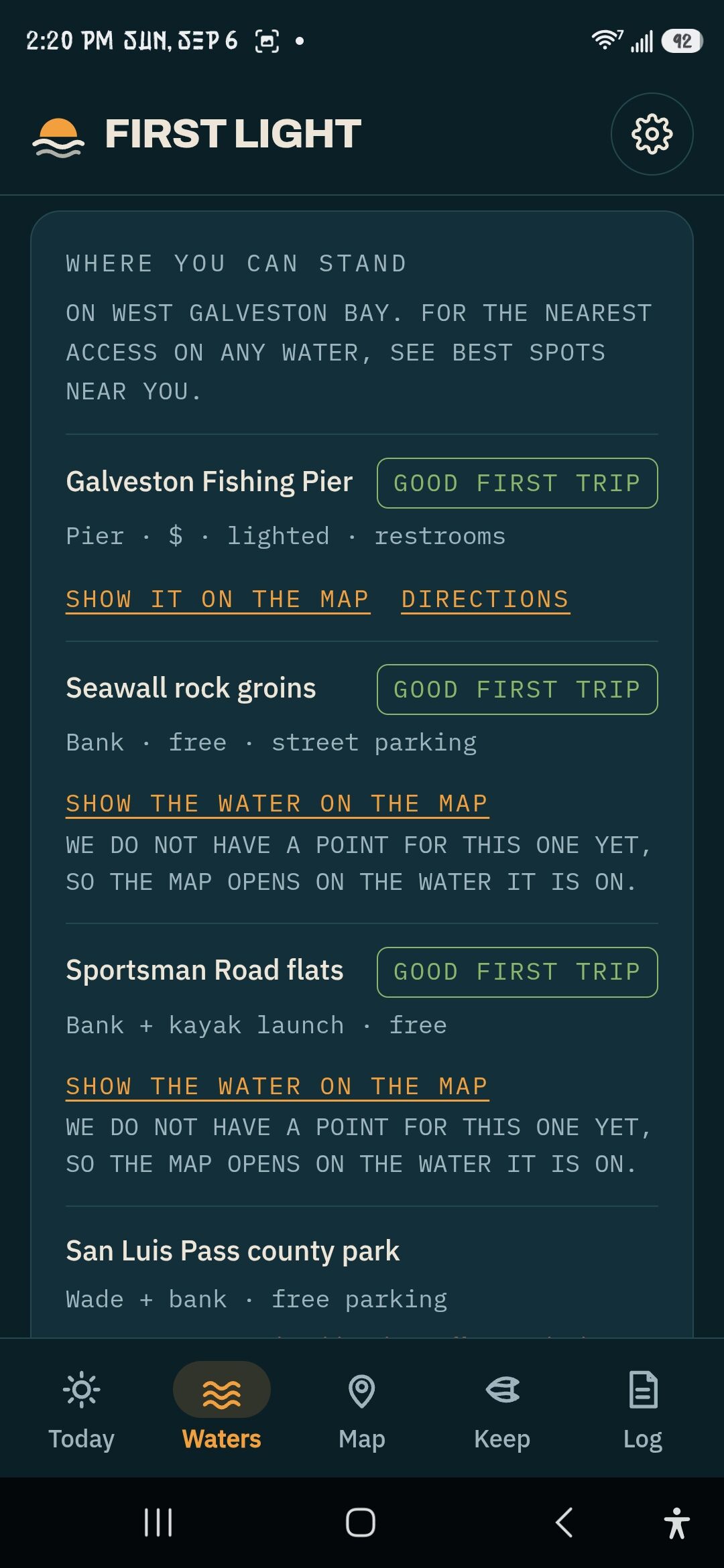
Pier, bank, wade or ramp, with the fee and the parking. And it says plainly when it has no pin for one.
The score, the best hours, and a plain-English sentence on why. Never blended with safety — a dangerous day cannot score well enough to tempt you.
Tide curve, wind by the hour, pressure and trend, water temperature, river flow against its fishable range — each reading named to the NOAA, NWS or USGS station it came from, with how old it is.
Off the water by, leave the spot by, alarm at. Set your launch hour and your run back; it does the arithmetic and fires a real notification in the Android app.
Bag and length limits for 18 species, each cited to 31 TAC §57.981 and evaluated on the Texas calendar, so a closed season closes on the right day. Says when it was last checked.
Prices, every exemption with its catch — being 65 is not one — and the 2026 rule that you now need ID to buy one. Free Fishing Day computed, not typed.
99 access points — bank, pier, wade, ramp — with fees, parking, lighting and whether a beginner can manage it. 96 bait shops, 159 guides and charters, and 51 public piers and jetties with what they charge — researched and labelled as researched, not visited.
What is likely on this water this time of year, and the rig for it — bait, alternative, where to fish it. Written for somebody holding a rod, not a catalogue.
Trips and fish, with your position if you want it, stored on your device and nowhere else. After a season it tells you how this app has actually done for you. Back it up; restore it.
Floods, closures, rule changes and licence news that affect the water you are looking at — dated, with an expiry, so nothing stale is presented as current.
Live cameras where a public one points at the water, so you can see the chop before you see the ramp.
Every water on satellite, coloured by today's conditions, every pinned access point and your own catches on top. USGS imagery — public domain, no key, nothing to revoke.
NOAA's NEXRAD mosaic over the same map, with an hour of loop you can scrub, so you can see the squall before you launch. Reflectivity is rain and hail — not lightning, and not fish.
Seven days out with real predicted tide and NWS wind, each day scored by the hour, honest about what is forecast and what is carried forward.
Ninety-nine access points, from the Texas City Dike to the Pleasure Island levee: bank, pier, wade or ramp, with the fee, the parking, whether it is lit after dark, and whether a first-timer can manage it.
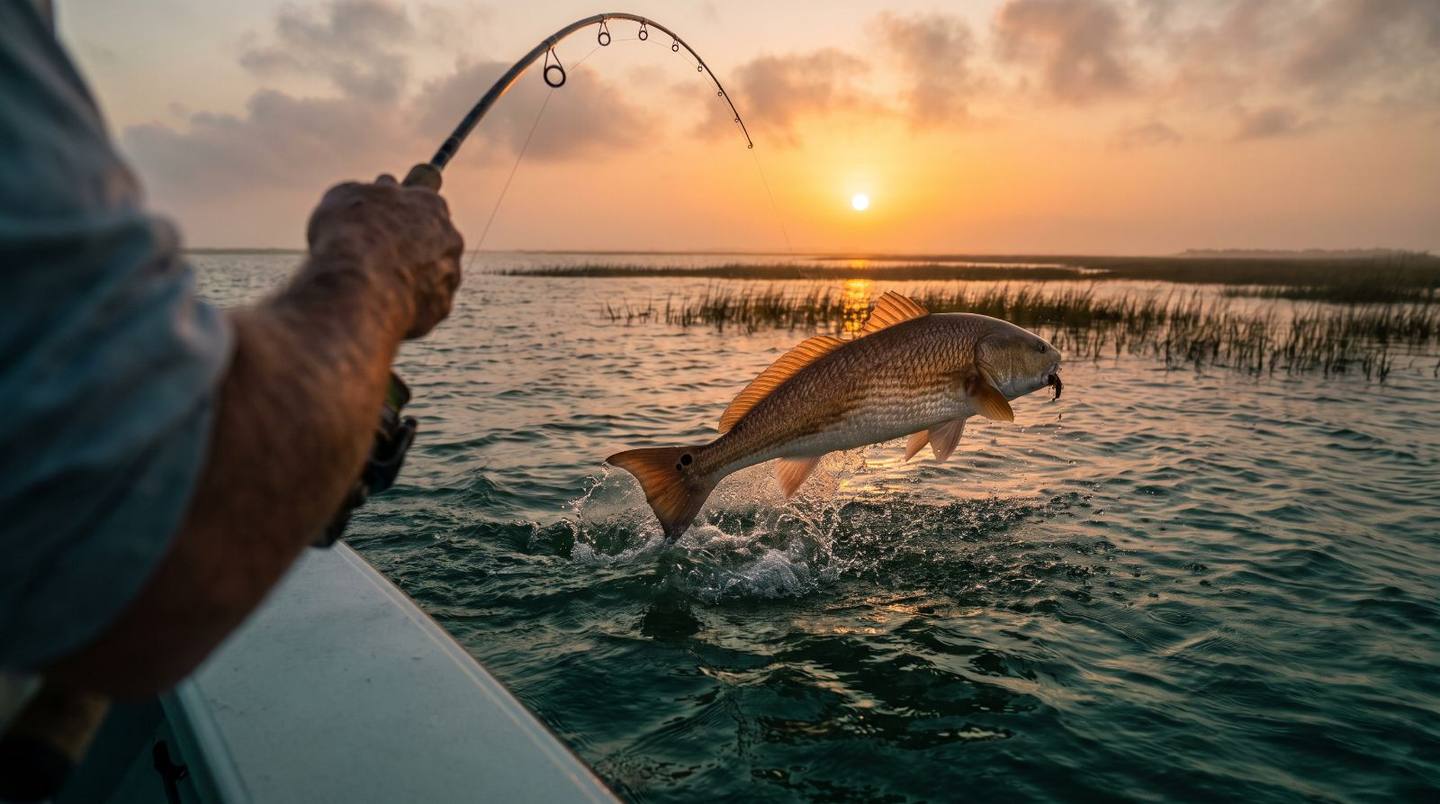
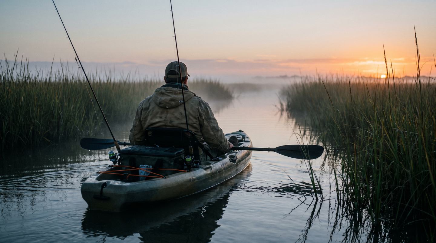
Pick From shore and the whole app re-sorts around it — the safety call, the spots, the rigs. Bait shops (and whether they normally carry live bait), guides and charters, and the public piers with their fees are listed for each water, researched and labelled as researched rather than visited.
The list grows a few at a time, and only when the feeds, the access and the limits for a water have been checked. Want yours? Say which.

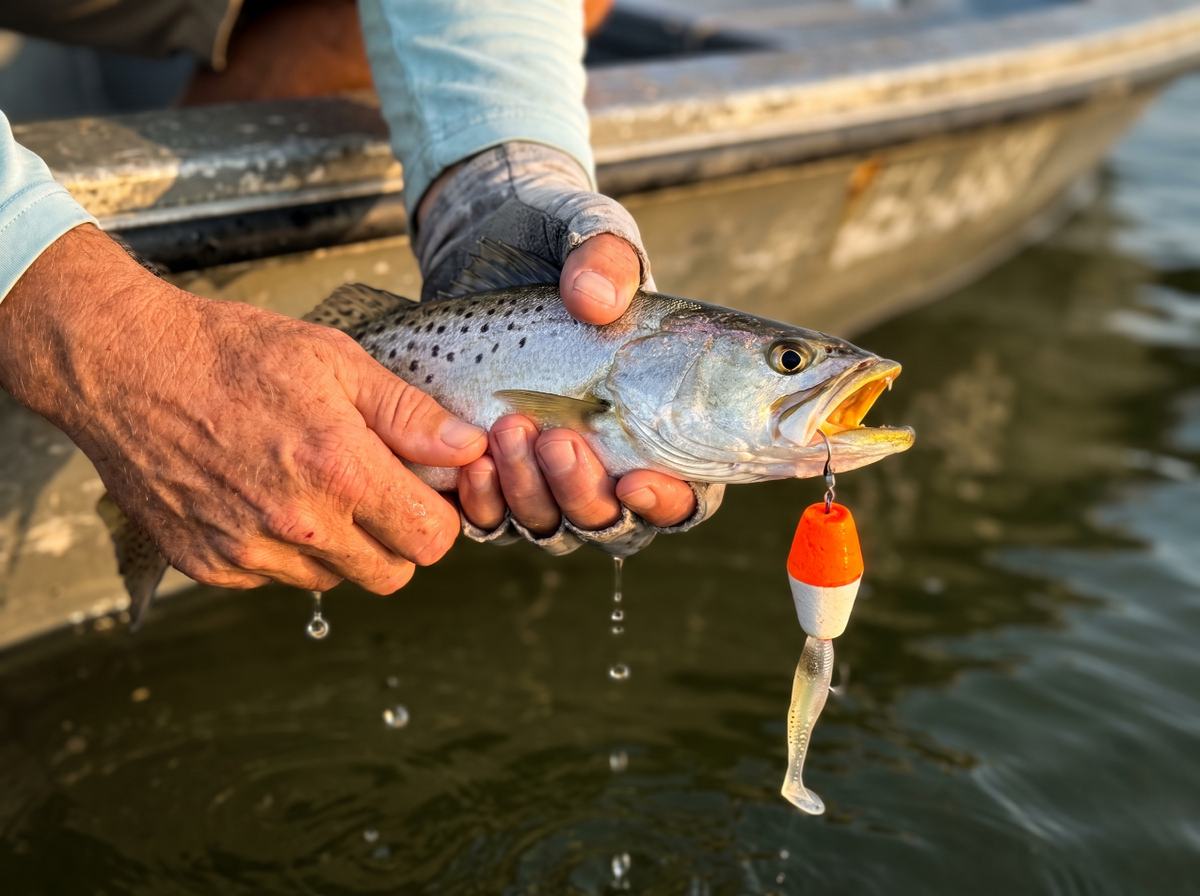
Every water carries what is likely this time of year and the rig for it — live croaker on a Carolina rig, or a soft plastic under a popping cork — written for somebody holding a rod, not browsing a catalogue.
Next to it, the limit: speckled trout, three fish, 15 to 20 inches, cited to the rule and dated. When the licence year turns and TPWD has not yet published the new edition, the app says so on the screen rather than letting last year's numbers pass as this year's.
The score is a conditions summary, not a catch forecast. It was tested against 2,510 real Texas Parks and Wildlife fishing reports and did not predict them. Most apps would bury that. This one says it on the screen, under the number, every day.
When a sensor is down, it says so. A dead anemometer reads as a dash and a note, never as yesterday's wind or a guess. Every reading names its station and its age.
Rules are cited, not paraphrased. Every limit points at the regulation it came from and carries the date it was last checked. When the licence year turns and the new edition is not yet published, the app tells you to read the limits as last year's — and does not stop telling you until it has checked.
Nothing about you leaves your device unless you sign in for Plus, and then it is an email address and whether you are paid up. No analytics, no ads, no trackers. The whole list is one page.
"Conditions summary, not a catch forecast."
"No storm forecast reached this water — check radar yourself before you go."
"Nobody has checked this in 24 days — treat it as behind, not as empty."
"Read the limits here as last year's."
The short answers. Anything not here, the terms page says the rest in plain language — it is one page — and a person reads the inbox.
One person makes this and answers the mail. Not instant, but answered — and if a question comes up twice, it ends up on this list.
Yes. The conditions, the safety call, the launch plan, the keep limits, the licence rules, where you can stand, what to tie on and the catch log are free and stay free. Plus adds the satellite map, the seven-day outlook, unlimited saved waters and your catches on the map — seven days free, then $2.99 a month or $19.99 a year, cancel any time.
The app opens offline and shows the last readings it fetched, marked with their age, so you know what you are looking at. Live readings need a connection; the launch-plan alarm does not — it is set on the phone before you leave.
On Android, get it on Google Play — the launch-plan alarm is a real alarm there. Everywhere else it runs in the browser: open it, add it to your home screen, and it opens like an app, full screen, with an icon. iPhone: Safari → Share → Add to Home Screen.
Only when you tap something that needs it — sorting waters by distance from you, or pinning a catch — and that position is used on your device and stored in your own log. It is never sent anywhere.
NOAA CO-OPS tide gauges, the National Weather Service hourly and daily forecasts, and USGS river and lake gauges — all public, all named on screen. Regulations from Texas Parks and Wildlife and 31 TAC §57.981. Satellite imagery from USGS The National Map. Access points, bait shops, guides and piers were researched and are labelled as researched, not visited.
No, and it will not pretend to. It tells you what the water is doing, whether you should be on it, when to be back, and what the rules are. Whether they bite is still fishing.
One person, in Richmond, Texas. [email protected] reaches him. It is not instant, but it is answered.
The satellite map with every water and access point, the seven-day outlook, unlimited saved waters, and your own catch pins. Safety, regulations and licence rules stay free — always.